Open Street Map
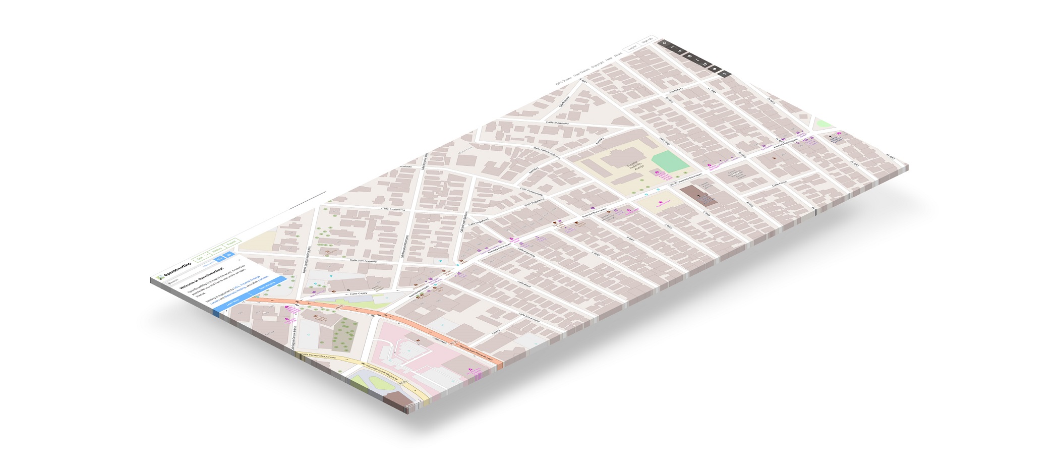 Open Street Map (OSM) is a large repository of global map data—free to use with attribution. It is created by a community of contributors, and an excellent source for creating a basemap. From the complete
 Planet.osm dataset (846GB when uncompressed), there are a number of subsets available for download in various formats.
Small Data Exports
GIS Plugins
Many GIS softwares support plugins for importing online OSM data within a working project.
API Service
Open Street Map offers an API service to download a limited size of data per call.
http://api.openstreetmap.org/api/0.6/map?bbox=11.54,48.14,11.543,48.145
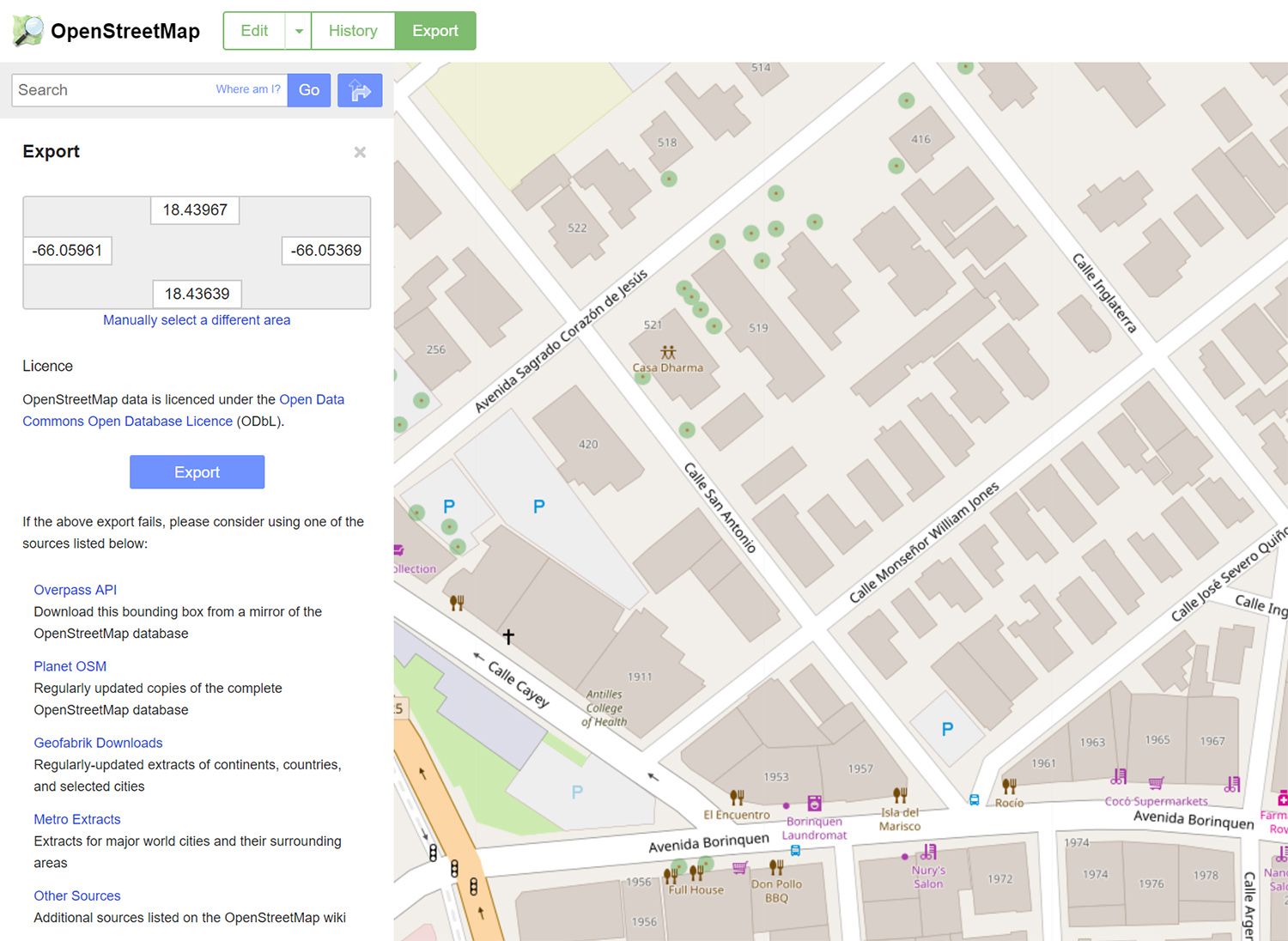
Export from Browser
Use the Export tab in the browser application to download the data for the specified bounding box.
Large Data Exports
Some great sources to download the OSM data in bulk. Note that each service may have slight schema variations, specially noted in level of detail for 3D building features.
- Overpass API (Wiki)
- Geofabrik Service
Mapzen Metro Extracts(Shutting Down)- Other Sources: http://wiki.openstreetmap.org/wiki/Planet.osm#Country_and_area_extracts
 OSM Building Feature Extracts. Source: https://github.com/UrbanSystemsLab/OverpassAPI-OSM-Extracts
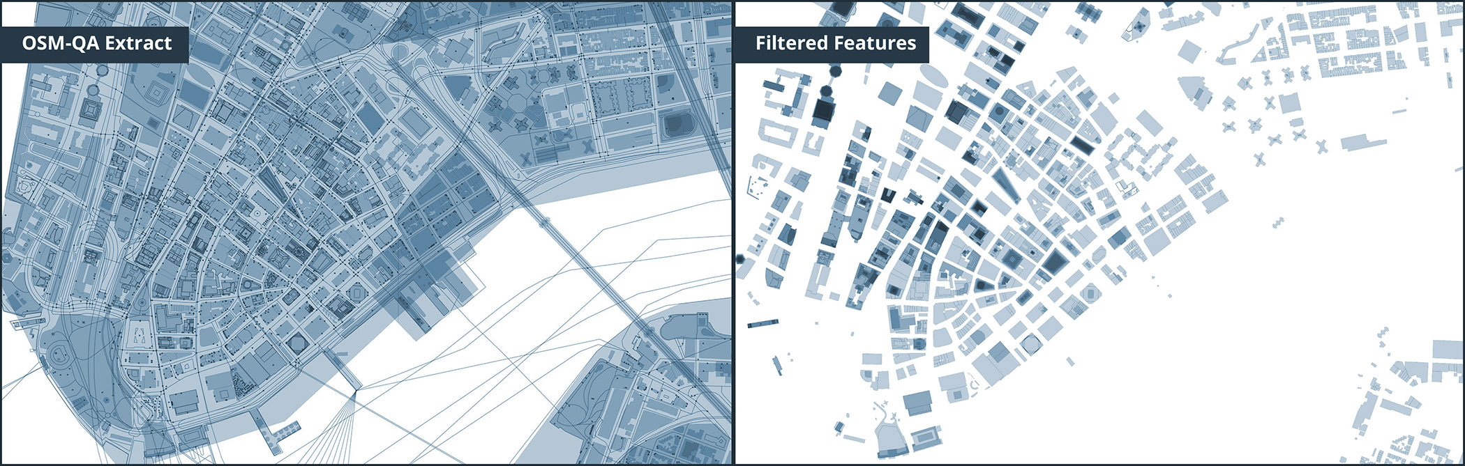 OSM Sample Map Extract. Source: https://github.com/UrbanSystemsLab/OSM-QA-Extracts
Data Conversion
You may want to use Osmosis, osmconvert, osmfilter, and ogr2ogr tools to convert the data into your prefered format.
Additional References
- OSM Extracts from Overpass API. Documentation of programatically downloading very large OSM extracts via Overpass API. https://github.com/UrbanSystemsLab/OverpassAPI-OSM-Extracts
- Geofabrik OSM Extracts. Documentation of working with Geofabrik Extracts. https://github.com/UrbanSystemsLab/Geofabrik-OSM-Extracts
- OSM QA Extracts. Documentation of working with OSM QA Extracts, a service provided by Mapbox. https://github.com/UrbanSystemsLab/OSM-QA-Extracts