Tileserver
 What are Tile Maps?
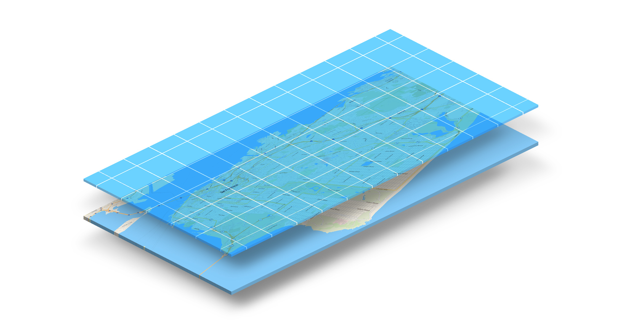
A tiled web map,slippy map[1] (in OpenStreetMap terminology) or raster tile map is a map displayed in a browser by seamlessly joining dozens of individually requested image files over the internet. It is currently the most popular way to display and navigate maps, replacing other methods such as WMS which typically display a single large image, with arrow buttons to navigate to nearby areas. Google Maps was one of the first major mapping sites to use this technique. Tiled web maps may in turn be replaced by vector tiles as the standard.
There are several major advantages to tiled maps. Each time the user pans, most of the tiles are still relevant, and can be kept displayed, while new tiles are fetched. This greatly improves the user experience, compared to fetching a single map image for the whole viewport. It also allows individual tiles to be pre-computed, a task easy to parallelise. Also, displaying rendered images served from a web server is much less computationally demanding than rendering images in the browser, a benefit over technologies such as WFS.'
Source: Tiled Web Map - Wikipedia
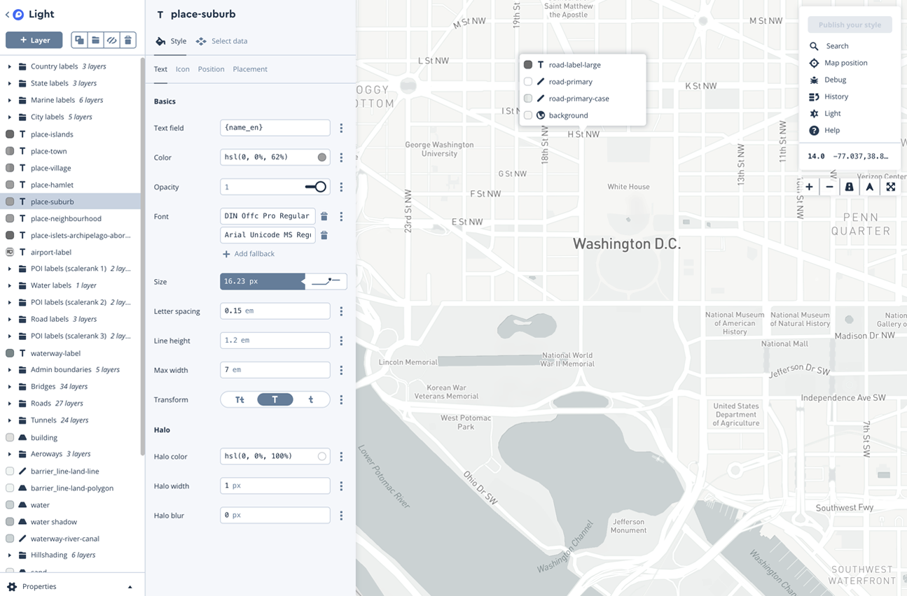
Klokantech - TileServer GL
Tileserver GL (tileserver.org) is an open-source map server made for vector tiles, and able to render into raster tiles with MapBox GL Native engine on the server side.
You can use this open-source software to serve tiles locally on your machine, or even run it as server-side web service.
See the live demo here
TileServer Service
A commercial alternative to TileServer GL is the TileServer service (tileserver.com) provided by Kolantech that allows you to host your tilesets on their servers.
Mapbox Tilesets
Mapbox lets you to host vector as well as raster tiles through Mapbox Studio. The studio provides a convenient way to upload custom data, and prototype visualizations before publishing it. Furthermore, Mapbox also provides Dataset API for programmatic management of data sets.
 Source: Mapbox Studio
OpenTileServer
Open Tile Server (opentileserver.org) lets you build basic OSM data (.osm.pbf format). This is compatible with Ubuntu 14 and Ubuntu 16 systems. Refer to the Github repository (github.com/AcuGIS/OpenTileServer) for more details.
Additional References
- Getting Started with Tiles. A Tutorial by Tilehut. https://github.com/b-g/tilehut/tree/master/tutorial
- Realtime Map Tile Rendering Benchmark: Rasters Vs. Vectors, Desktop Map Experience In A Browser. https://www.giscloud.com/blog/realtime-map-tile-rendering-benchmark-rasters-vs-vectors/
- Raster2MbTiles. Exporting Rasters to MbTiles using GDAL. https://pvanb.wordpress.com/2017/03/06/raster2mbtiles/
- gdal2MbTiles. Source code repository for Gdal2MbTiles CLI. https://github.com/ecometrica/gdal2mbtiles
- Tilemill. Open Source Predecessor of Mapbox Studio. https://github.com/tilemill-project/tilemill
- Kosmtik. Alternative to Tilemill for creating map tiles. https://github.com/kosmtik/kosmtik
- Tileover. Linux based maintained for of Tilemill. https://github.com/florianf/tileoven